
New Drone Regulations – Bad for Research?
On January 1, the 60 day comment period opened for a new set of long-awaited drone regulations that will pave the way for drone delivery services in the near future (Federal Register FAA-2019-1100). Crucially, the proposed regulations will require virtually all drones to have equipment that will allow them to be tracked by the FAA and enable pilots to operate drones beyond visual line of sight. This is great news for a wide variety of new commercial drone applications and will greatly improve the safety of drone operations in congested airspace.
However, if the rules are passed as written, it will be the death knell for drone flights in remote areas – common ground for recreational, commercial, and research operators alike. Let me explain.
The central component to the new rule structure is that drones must maintain constant internet communication with a central server that logs details such as the identification number, location, and altitude of the drone in real time. This addresses a number of safety concerns as the number of commercial drones increases, especially for delivery services, as well as enabling law enforcement with a way to track down drones and operators in violation of the law. While I’m generally in favor of policies that will root out bad actors in the drone community, there is one glaring problem with the rules as proposed – all aircraft must be connected to the internet, and if only limited internet access is available, the drone is restricted to flying only 400 feet from the launch point. If no internet connection can be established, the drone will not launch.
This is a huge problem if you fly in remote areas and the rules place more stringent requirements on drones than on crewed aircraft in the same airspace.
Here’s a potential scenario:
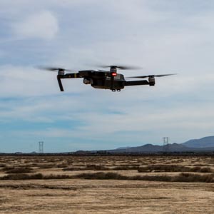
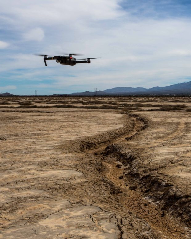
You’re in the middle of a national forest in Alaska conducting a drone survey for a research study to catalog the diversity and density of tree species over a large plot of land. You’ll have your drone set to fly a pre-programmed series of transects to image several sub-plots within your research area. The closest community is 50 miles away and the nearest occupied house is 20 miles away. Other than you and your research team, there are no other people nearby.
Under current rules, as long as you maintain visual line of sight with your drone and maintain an altitude below 400 feet above ground surface, you’re good to conduct the survey. Generally speaking, on a clear day you may be able to operate the drone at distances as much as 700-1,000 feet from your launch point. This allows you to cover your survey area over a series of about a dozen flights.
Under the proposed rules, you need a way to relay your drone’s information to the FAA remote ID server. There is no cellular internet service where you are flying, so you must use satellite internet. The average data rate for an Iridium satellite internet receiver is about $1 per MB. In order to keep your flights as planned will require you to conservatively enroll in a 1 GB plan that will cost about $1,000 before factoring in the price to buy or rent the receiver.
If you are on a budget, you could purchase a smaller data plan, but you will be limited to flying within 400 ft of your launch point. If your original plan was to conduct 12 flights maintaining a 1,000 ft distance from your launch point, shrinking the distance to 400 ft will require you to conduct 6 flights for each of the original survey footprints, increasing your total number of flights from 12 to 72 to cover your original survey area. You must now choose between how much data you need, how many man-hours are required to conduct the additional flights, and how much your data plan will cost. If you are on a particularly tight budget, you may not be able to conduct the scope of work at all or restrict it so much that the original objectives can not be met.
Let’s say this site is under Class G airspace. If a Cessna 172 with two people on board were to fly over the same area, they are not required to be in radio or radar contact with anyone – they do not even need to have a transponder! But your drone operating at or below 400 ft with no other people around is prohibited from taking off if you are not maintaining communication with an FAA server thousands of miles away.
If this scenario makes sense to you, then you’ll love the new rules. If it doesn’t make sense, and if you conduct remote drone operations – either for work or play – then please make your voice heard at the link below. The public comment period closes on March 2.